
Industries We Serve
- Responsive Coordination
- Lasting Relationships
Architecture
Accurate Existing Conditions. Confident Design.
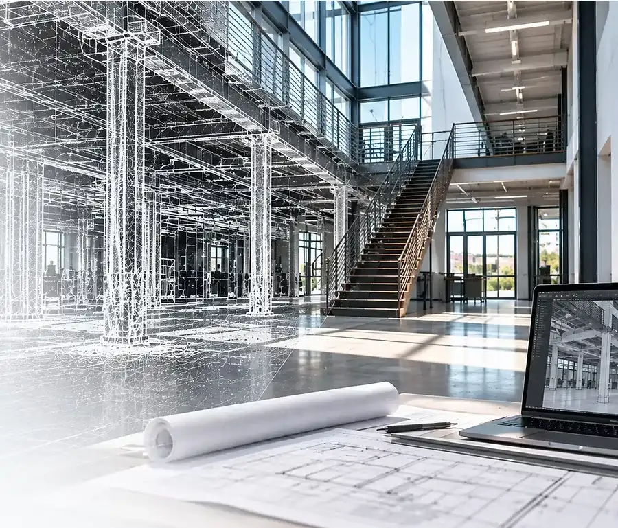
Peregrine Scans provides architects with precise as-built documentation, 3D models, and measured drawings to support renovation, adaptive reuse, and new design within existing structures.
Our high-resolution scan data captures real-world conditions, reducing field time, minimizing uncertainty, and giving you a reliable foundation to design with confidence.
- As-Built Floor PlansAccurate, detailed drawings you can build on.
- Scan-to-BIMRevit models of existing conditions (LOD 200–350).
- Elevations & SectionsComplete building documentation for better design insight.
- Point CloudsA detailed digital record you can reference anytime.
What We Solve
Existing drawings are often outdated, incomplete, or simply don’t exist. Field measuring takes valuable time, return visits add cost, and there’s always another dimension someone needs after the team has left the site.
Peregrine Scans captures existing conditions once and creates a reliable digital record your team can return to throughout the project. Accurate point clouds, CAD drawings, and BIM models reduce field time, minimize unnecessary return visits, and give your team reliable information before design decisions become construction problems.
Commercial Real Estate
Accurate Data for Smarter Decisions.
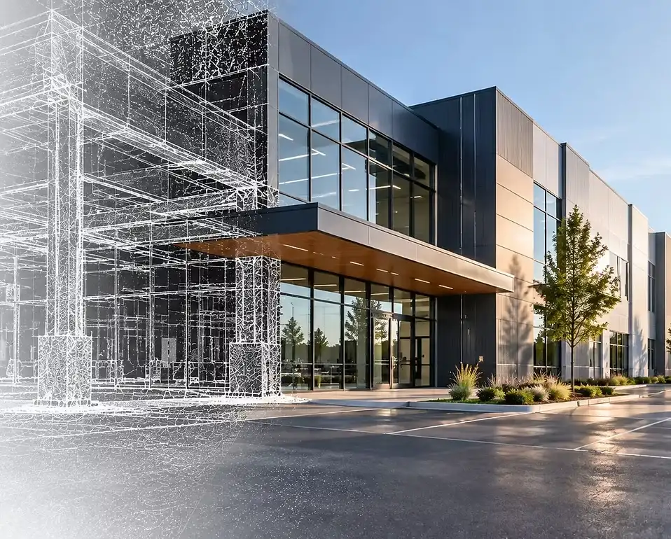
Peregrine Scans helps commercial real estate professionals make informed decisions with precise as-built documentation, 3D models, and measured drawings of existing properties.
Our services support acquisitions, due diligence, renovations, tenant improvements, and portfolio management by providing reliable, field-verified data you can trust.
- Acquisitions & Due DiligenceVerify existing conditions before you invest.
- Renovations & RepositioningAccurate documentation to plan with confidence.
- Tenant Improvements & Lease PlanningReliable as-builts for faster, more efficient design and permitting.
- Portfolio ManagementConsistent data across your entire property portfolio.
What We Solve
Real estate decisions are difficult when existing building information is incomplete or unreliable. Peregrine Scans provides accurate, field-verified documentation to support acquisitions, renovations, tenant improvements, and property planning. Know what you own, understand what you’re buying, and give your project team reliable information to move forward.
Construction & VDC
Build With Confidence.
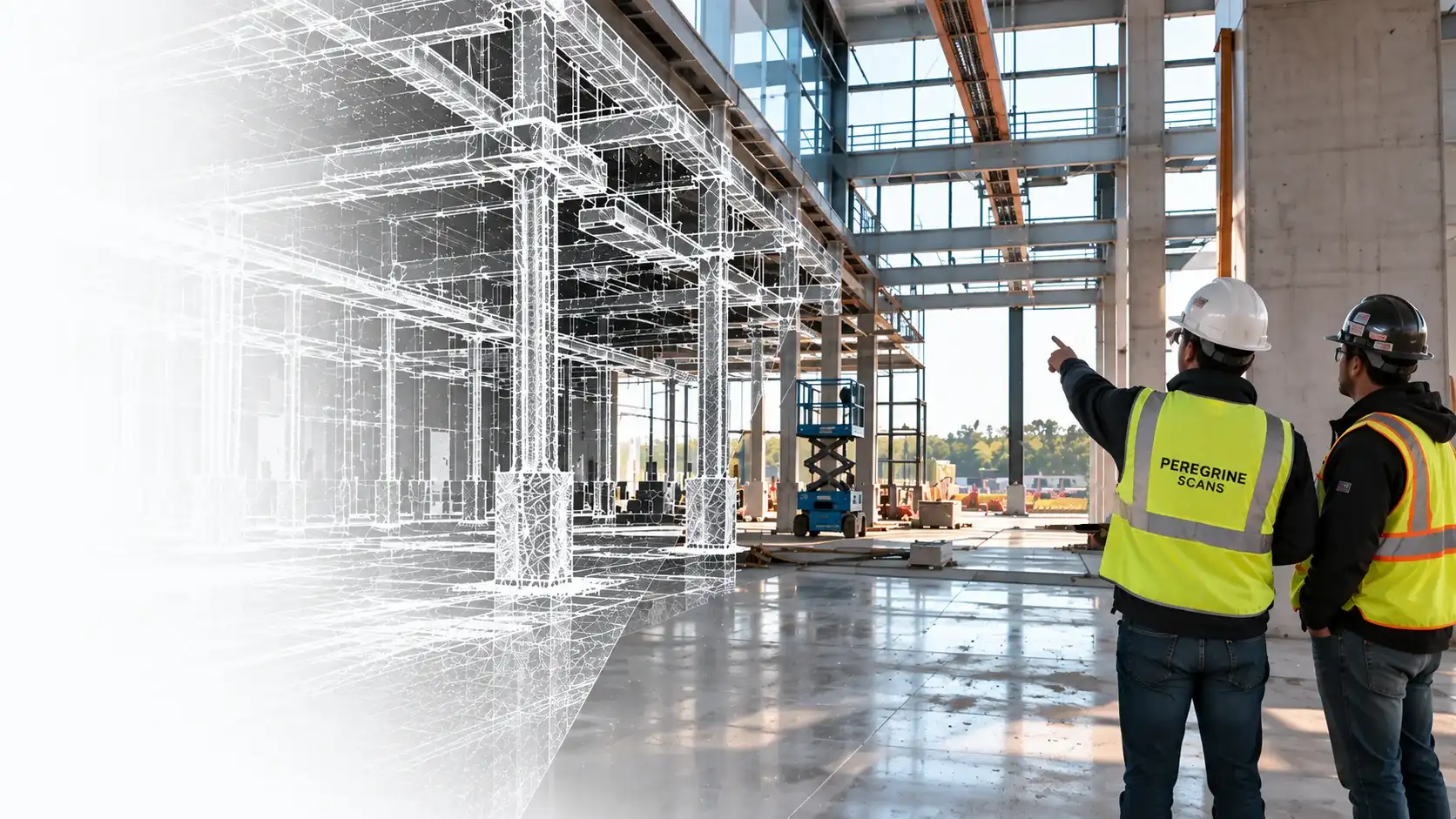
Accurate existing conditions are the foundation for successful construction. Peregrine Scans provides high-resolution scan data, CAD drawings, and BIM models that support preconstruction planning, coordination, and field execution.
Our data helps contractors, construction managers, and VDC teams reduce risk, identify conflicts early, streamline workflows, and keep project schedules on time and on budget.
- Accurate Geo-ReferencingSite-accurate data aligned to real-world coordinates for reliable integration with your project models.
- Clash Detection & CoordinationAccurate existing conditions to identify conflicts early and improve trade coordination.
- Progress MonitoringVisualize construction progress and verify conditions against design and schedule.
- Field Verification MeasurementsGet the dimensions you need anytime without another site visit.
- Reduce Risk and ReworkBuild from what’s actually there to minimize surprises, change orders, and delays.
What We Solve
Construction decisions depend on knowing what’s actually happening in the field. Peregrine Scans captures accurate, geo-referenced 3D data teams can measure, coordinate, and build from. Consistent repeat scan data measures progress and verifies installed conditions against design, giving project teams reliable field data as construction moves forward.
Historic Preservation
Today’s Details, Tomorrow’s Legacy.
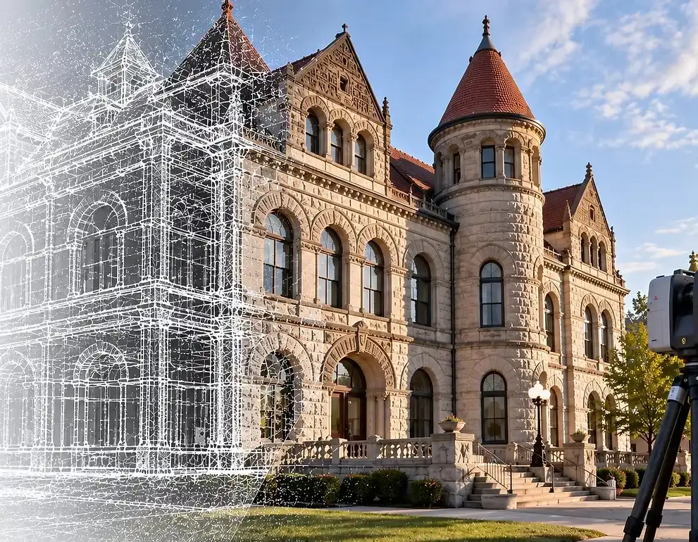
Peregrine Scans helps preserve what matters by capturing accurate, high-resolution documentation of historic structures. Our laser scanning and modeling services provide detailed, measurable records to support restoration, renovation, and long-term preservation efforts.
From historic buildings and landmarks to cultural and civic assets, we deliver reliable as-built data that informs design, protects heritage, and helps ensure these structures endure for future generations.
- Document Existing ConditionsCapture accurate, non-invasive records of historic structures.
- Support RestorationProvide detailed as-builts for architects and preservation specialists.
- Protect Cultural AssetsCreate a digital record to safeguard valuable heritage sites.
- Plan for the FutureEnable informed decisions for renovation, adaptive reuse, and long-term stewardship.
What We Solve
Historic buildings often lack accurate drawings, and their unique geometry can be difficult to document using traditional methods. Peregrine Scans captures existing conditions in precise 3D detail, creating a permanent digital record for restoration, rehabilitation, and adaptive reuse. Preserve what exists today while giving project teams reliable information to plan what comes next.
Ready to start?
Let's talk about your project and find the right solution.