About Peregrine Scans
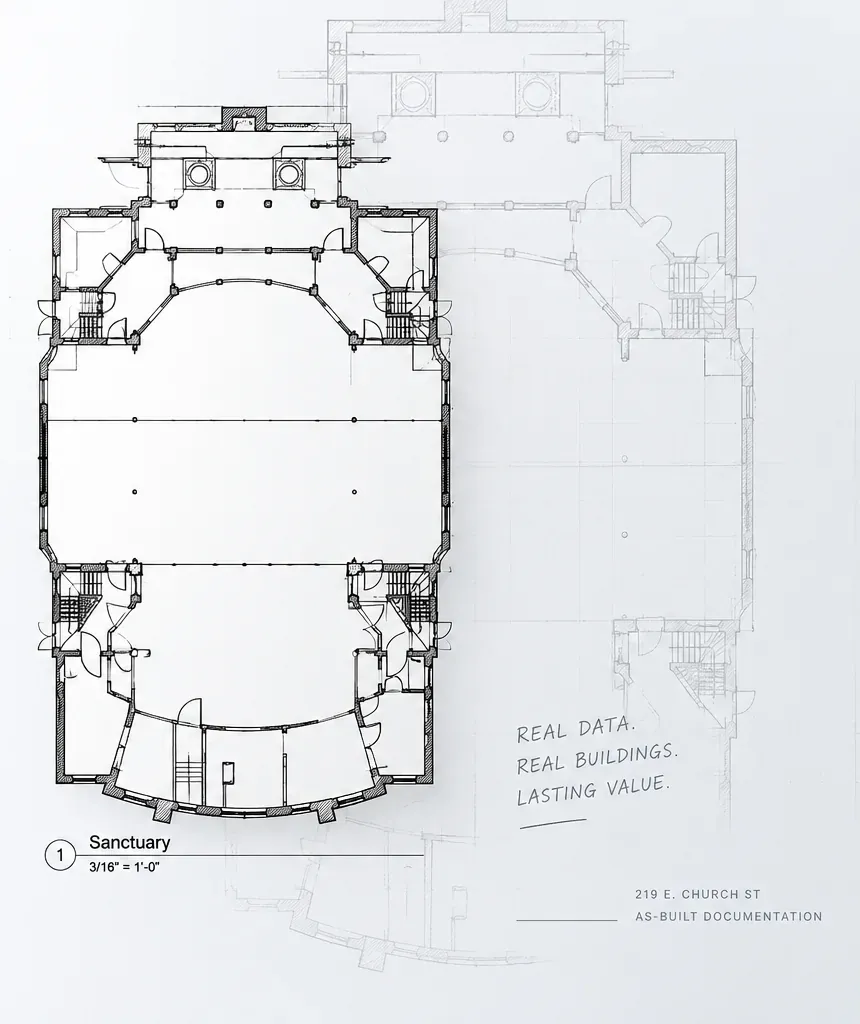
Real data. Real buildings. Lasting value.
Peregrine Scans is a 3D laser scanning and as-built documentation company based in Columbus, Ohio. We capture existing buildings and facilities with high-accuracy reality capture technology, then turn that data into the point clouds, CAD drawings, BIM models and 3D meshes project teams rely on.
Every project follows the same idea: capture existing conditions once, capture them accurately, and deliver information your team can use right away and return to for years.
How We Work
Four commitments behind every scan, drawing and model we deliver.
- Accurate DataHigh-accuracy capture and a quality check on every deliverable before it leaves our hands.
- Practical DeliverablesFiles in the formats, layering and level of detail your team actually works with.
- Responsive CoordinationClear scoping up front and quick, direct answers while your project is underway.
- Lasting RelationshipsA digital record your team can return to, and a partner to call on the next project.
What We Deliver
From Site to Deliverable
One workflow. From real-world conditions to project-ready information.
Step 01: Define
Review the project, required deliverables, areas of interest, and required level of detail.
Step 02: Capture
Document the site using high-accuracy 3D reality capture technology.
Step 03: Develop
Process captured data and transform it into the required point cloud, CAD, BIM, or 3D deliverables.
Step 04: Deliver
Quality-check, organize, and deliver final project-ready files.
Ready to start?
Let's talk about your project and find the right solution.